Posts Tagged ‘Utah’

Bryce Canyon National Park

December 19, 2017

(Note:  All pictures may be enlarged by clicking on them once or twice.)

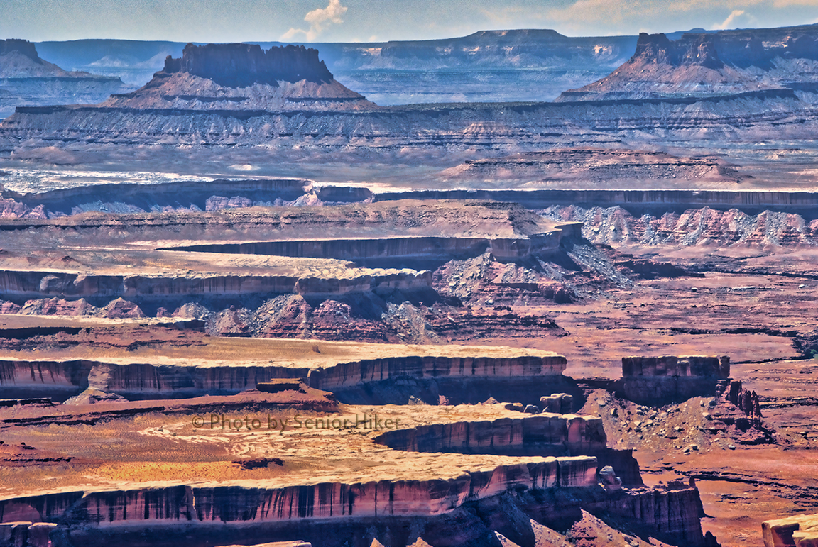
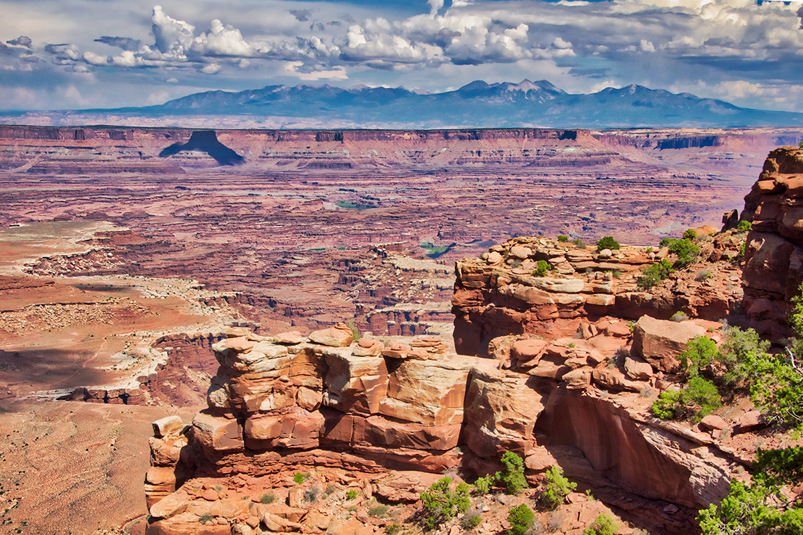
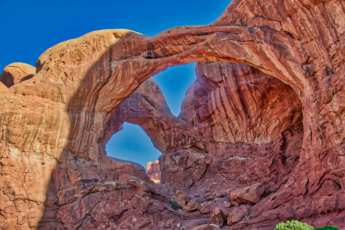
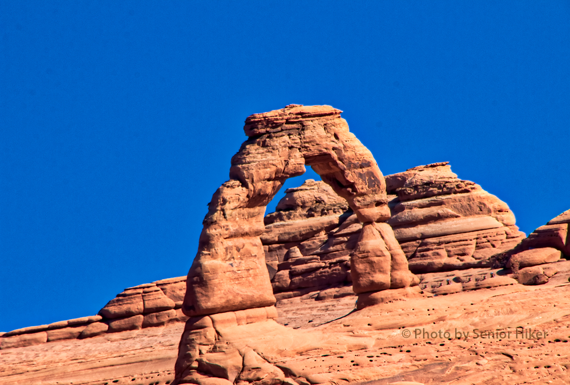
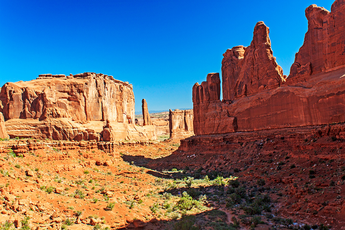
Utah is a beautiful state containing many state and national parks with gorgeous scenery. On our western trip in September of this year Betsy and I visited 13 state and national parks or monuments in Utah, and we enjoyed our visit to each and every one.

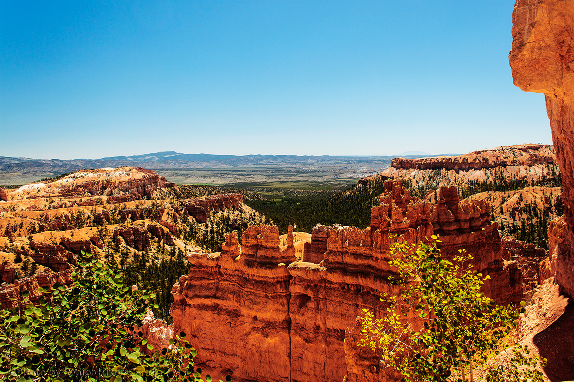
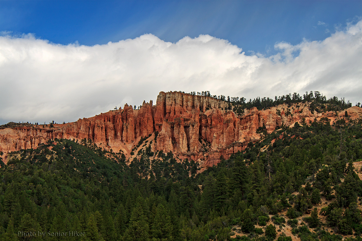
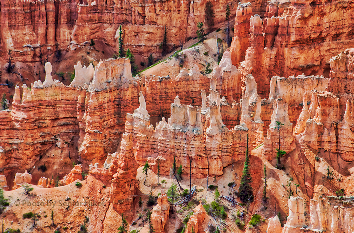
With so much spectacular scenery, it’s hard to pick a favorite Utah spot to visit, but if I had to pick a favorite, it would probably be Bryce Canyon. We visited Bryce several years ago, and I’ve wanted to go back ever since. The hoodoos are spectacular in both form and color as the picture above, taken at Sunrise Point, shows.

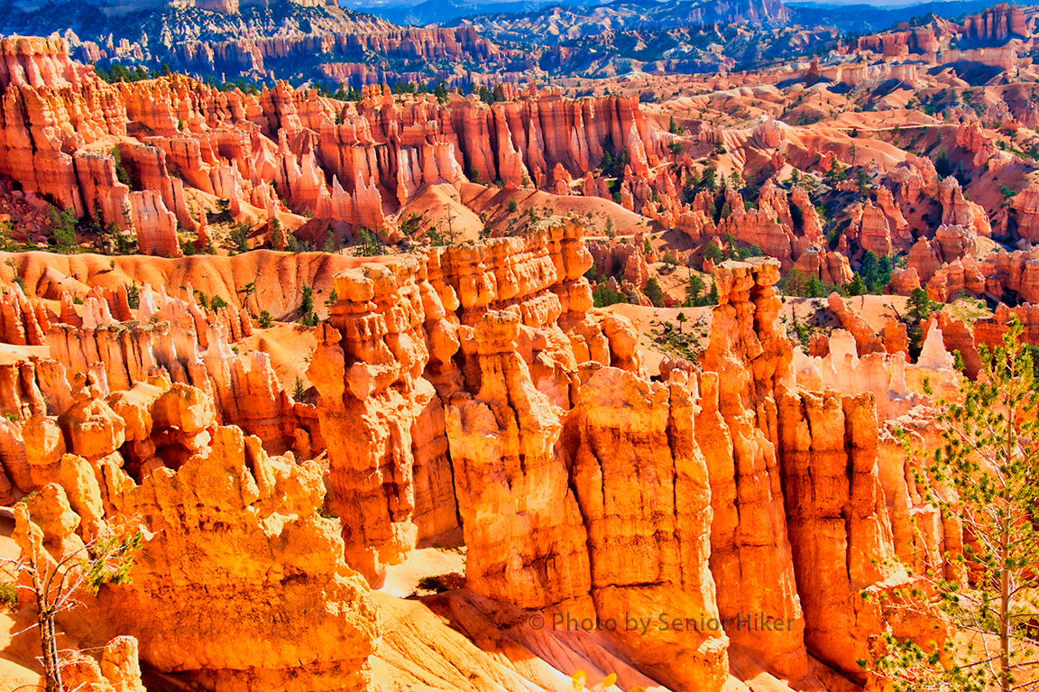
We hiked from Sunrise to Sunset Point, enjoying the views of the canyon as we walked. I must admit that we didn’t set any speed records on that hike, since we stopped so often to take pictures.

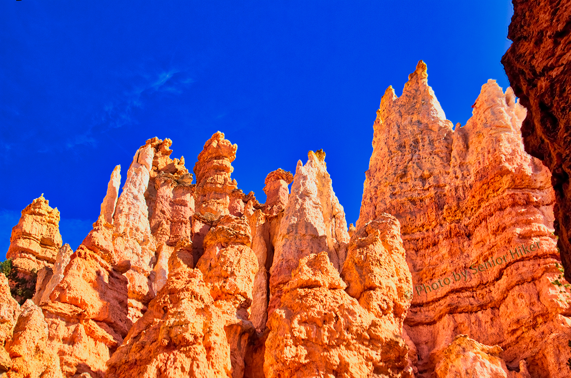
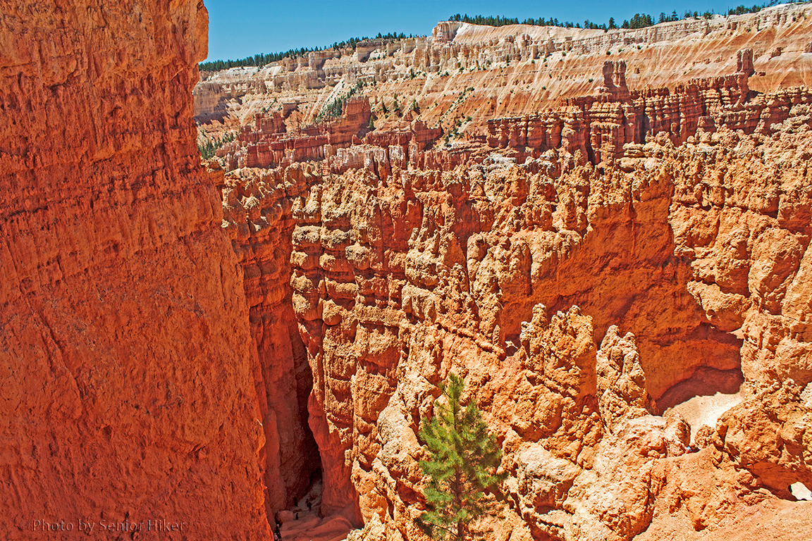
A special treat for me was being able to hike the Navajo Loop down into the canyon from Sunset Point. It was fantastic to be able to look up at the hoodoos against that gorgeous blue sky.

I have many more photos from Bryce, but they will be the subject of a later post. i

Canyonlands National Park

November 21, 2017

(Note:  All pictures may be enlarged by clicking on them once or twice.)

Betsy and I visited Canyonlands National Park for the first time on our recent trip west. We actually visited two sections of the park, but the Island in the Sky section was definitely our favorite. All of these pictures are from Island in the Sky.

I’m not sure what we expected to find at Canyonlands, but the stark beauty was absolutely fascinating. The picture above was taken at the Green River Overlook, and although you can’t see the Green River, you can see the canyons that it has carved over the ages.

This picture was taken near the White Rim Overlook. If you look closely you can make out the Colorado River way below and far away.

There are other sights to enjoy in the park, one of which is Mesa Arch. We didn’t get there early enough to see the sun rise through the arch, but it was a beautiful sight nonetheless. The arch can be reached after a relatively easy hike from the trailhead.

If you ever get a chance to visit Canyonlands, we hope you will do so.

Arches National Park

October 31, 2017

(Note:  All pictures may be enlarged by clicking on them once or twice.)

One of the places we visited on our trip west earlier this year was Arches National Park near Moab, Utah. It’s a very beautiful — and very popular.

On the day before we planned to visit Arches we passed the entrance and noticed that the park was closed from 7pm to 7am and that there was a huge line of cars waiting to get into the park.

We knew that we would have to get to Arches very early the next morning, which we managed to do. We then learned that the closures were a result of roadwork being done in the park, and that there was a delay in getting all the equipment off the roads this particular morning. So we sat in the parking lot of the Visitor Center for what seemed to be the longest time.

Finally we were able to get into the park. Our first stop was Double Arch, which we only saw at a distance when we were there several years ago. This time we were among the first to get to the arch so were were able to hike to it while the morning light was still good, as you can see in the picture above.

We then hiked in the Windows portion of the park. I got this picture of the North and South Windows from nearby Turret Arch.

We then drove to the Wolfe Ranch section of the park to visit Delicate Arch. There were such long lines waiting to hike to the arch that we chose to content ourselves with seeing it from the viewing area. We did hike to the upper viewing area, which got us closer to the arch itself, which is where I got this photo.

We saw many more things at Arches National Park, but they will have to wait for another post.

Our World: Sunset Point, Bryce Canyon

June 3, 2013
The view from Sunset Point, Bryce Canyon.  June 21, 2011.

The view from Sunset Point, Bryce Canyon. June 21, 2011.

(Note:  All pictures may be enlarged by clicking on them.)

This is my post for the Our World meme.  This meme is a second generation of My World Tuesday created by Klaus Peter and is hosted by five wonderful ladies.  To learn more about our world or to join and share your part of the world, click HERE.

Bryce Canyon was one of the favorite places Betsy and I visited on our 2011 western trip.  The canyon was simply breathtaking.  One of the overlooks we visited was Sunset Point.  We weren’t there at sunset, but the view was spectacular just the same.

The view from Sunset Point, Bryce Canyon.  June 21, 2011.

The view from Sunset Point, Bryce Canyon. June 21, 2011.

The trailhead for Navajo Loop Trail is at Sunset Point.  If you look to the left of the pine in the picture above, you can see where the trail disappears down a narrow canyon.  Part of the trail was closed when we were there, but we did make it beyond this point before we had to turn back.

The view from Sunset Point, Bryce Canyon.  June 21, 2011.

The view from Sunset Point, Bryce Canyon. June 21, 2011.

The rock formations and hoodoos visible from Sunset Point are absolutely amazing.

Our World: Park Avenue

May 20, 2013
Park Avenue, Arches National Park, Utah.  June 23, 2011.

Park Avenue, Arches National Park, Utah. June 23, 2011.

(Note:  All pictures may be enlarged by clicking on them.)

This is my post for the Our World meme.  This meme is a second generation of My World Tuesday created by Klaus Peter and is hosted by five wonderful ladies.  To learn more about our world or to join and share your part of the world, click HERE.

Park Avenue, Arches National Park, Utah.  June 23, 2011.

Park Avenue, Arches National Park, Utah. June 23, 2011.

Park Avenue.  No, not the one in New York — the one in Arches National Park in Utah.  Park Avenue is one of the trails in Arches that we hiked during our June, 2011, visit.  The trail got the name ‘Park Avenue’ because the rock formations resembled skyscrapers.

Park Avenue, Arches National Park, Utah.  June 23, 2011.

Park Avenue, Arches National Park, Utah. June 23, 2011.

We got to the trail head in the morning before too many others were around.  It was a nice hike through the canyon, which we finished before the day got too hot.

SkyWatch Friday: Utah Skies

March 29, 2013
Scene on the highway from Kanab, Utah, to Bryce Canyon.  June 19, 2011.

Scene on the highway from Kanab, Utah, to Bryce Canyon. June 19, 2011.

(Note:  All pictures may be enlarged by clicking on them once or twice.)

This is my post for Skywatch Friday, a meme for sharing views of the sky from all over the world.  To see more, or to join and share your own photos of the sky, click HERE.

On going through my archives recently, I found some pictures taken in June, 2011, as Betsy and I drove from Kanab, Utah, to Bryce Canyon.  The morning was very overcast, so we weren’t sure of what the weather would be like at Bryce, but we headed out anyway.

As we drove along we were impressed with both the Utah landscape and the vastness of the sky.  We stopped several times along the way to get pictures.

Scene on the highway from Kanab, Utah, to Bryce Canyon.  June 19, 2011.

Scene on the highway from Kanab, Utah, to Bryce Canyon. June 19, 2011.

At times the clouds were so low that they they touched the tops of the mountains in the distance.

Scene on the highway from Kanab, Utah, to Bryce Canyon.  June 19, 2011.

Scene on the highway from Kanab, Utah, to Bryce Canyon. June 19, 2011.

At other times the clouds would part enough for us to see blue skies and the beautiful red cliffs of Utah.

********************

On a more personal note, I had my first date with my Beautiful Bride on March 29, 2001.  She was a minister at Hendersonville (Tennessee) First United Methodist Church, and we made a dinner date to discuss some Bible Study lessons I had missed because my work took me out of town.

The Bible Study never came up the entire evening.

Watery Wednesday #158: Riverside Walk

September 28, 2011

The Virgin River near the beginning of Riverside Walk. June 18, 2011.

(Note:  All pictures may be enlarged by clicking on them once or twice.)

This is my post for Watery Wednesday.  To see more of our beautiful watery world, or to join and post your own pictures to share, click HERE.

During the summer visitors to Zion National Park have to take a shuttle to visit the places along Zion Canyon Scenic Drive.  The last shuttle stop, Temple of Sinawava, is also the trailhead for Riverside Walk.

Riverside Walk follows the Virgin River along a canyon which gets more and more narrow as we hike up stream.

The river became much narrower and dropped over rocks and ledges as we hiked up stream. June 18, 2011.

As we move up the canyon, we start seeing more cascades and drops along the narrowing canyon.  It’s hard to remember that this pretty little stream actually carved the canyon we were walking through.

The Virgin River near The Narrows. High water prevented us from going any further up the canyon. Zion National Park, Utah. June 18, 2011.

The trail was closed because of high water before we got to the narrowest part of the canyon, but we still got to enjoy the beauty all around us.

Watery Wednesday #155: Sinawava Falls

September 7, 2011

Sinawava Falls from the Temple of Sinawava, Zion National Park, Utah. June 18, 2011.

(Note:  All pictures may be enlarged by clicking on them once or twice.)

This is my post for Watery Wednesday.  To see more of our beautiful watery world, or to join and post your own pictures to share, click HERE.

The Temple of Sinawava is the last shuttle stop along the Zion Canyon Scenic Drive.  The only way to get to it when we visited the park was by shuttle bus.  I could not see much of the scenery while on the bus, so I was happy to get off so I could look around.

I was doubly happy when I spotted this waterfall high up on the canyon wall.  There was only a thin stream of water coming over the edge, but it could be followed for quite a way down.

Sinawava Falls, Zion National Park. June 18, 2011.

My telephoto lens brought the detail of the waterfall closer, but lost the beautiful canyon around Sinawava Falls.  I couldn’t decide which photo I like best, so I’m posting both.

Watery Wednesday #147: The Frozen Variety

July 6, 2011

Betsy enjoying the snow banks along a trail near the Visitor Center at Cedar Breaks National Monument, Utah. June 20, 2011.

This is my post for Watery Wednesday.  To see more of our beautiful watery world, or to join and post your own pictures to share, click HERE.

Cedar Breaks National Monument, near Cedar City, Utah, was a last minute addition to our itinerary.  After we arrived in Utah on June 18, our good friend Neal suggested that we visit Cedar Breaks.

We did an internet search and found that the roads in Cedar Breaks had been opened on June 17.  We also found we could include a visit to the Monument while driving to see some of the places we had planned to visit.

The elevation at Cedar Breaks varies from 10,100 to 10,500 feet.  As we approached the Monument, my little bride was delighted to see snow on the mountain tops.  As we drove into the park with snow piled high on both sides of the road, Betsy was like a kid in a candy shop, as you can see from the picture above.

We asked a ranger how much snow they had gotten over the winter, and he said they had 395 inches by May 31, which was the ‘official’ end of their winter season.  However, it had snowed several times since then, including the day before we got there.

Betsy enjoying the snow at Cedar Breaks National Monument, Utah. June 20, 2011.

If you know anything at all about Betsy, you know she was excited with all that snow around.  And, of course, we had to find a place where she could get out and walk in the snow.  She did not, however, make a snowman for me.